
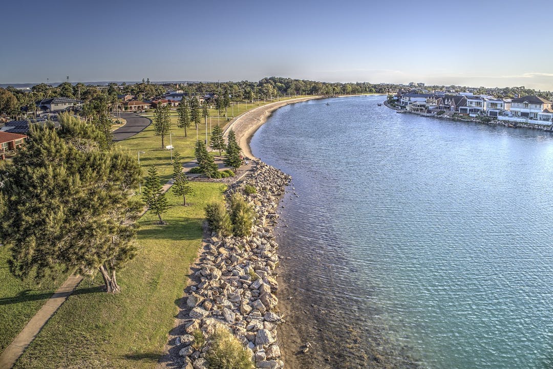
West Lakes
In August 2020 the EPA was notified of testing results from soil collected at the former Port Adelaide wastewater treatment plant in West Lakes, as well as offsite groundwater monitoring bores located in reserves and other public land. The results showed per- and poly-fluoroalkyl substances (PFAS) above relevant guidelines.
The EPA advises that groundwater (bore water) in the West Lakes assessment area is contaminated and should not be used for any purpose. The West Lakes and Royal Park groundwater prohibition area was established in December 2023.
Lake water, tap water and rainwater are not affected.
Previous work undertaken by the EPA included a program to sample the lake water, groundwater, fish and crustaceans. The reports are available in the Reports section on this page.
If you have any feedback, questions or concerns, please contact us on:
- Ph: (08) 8204 2004
Historical reports, letters and maps
The EPA has a history of work in the West Lakes area, and links to previous documents, letters to residents, media releases, maps and other information is available below:
Key Documents
- West Lakes information for residents in areas affected by sewage sludge, July 2001
- Precautionary testing of selected reserves in the wider West Lakes area
- Questionaire to residents in assessment area
- Important information, October 2000
- Summary of EPA investigations
- Summary of historical information
- Chronology of events
Letters to residents
Media Releases
Maps
A series of maps has been produced on 29 August 2000 to help inform the public on the West Lakes soil testing program.
- Map 1 identifies the broad assessment area
- Map 2 identifies the initial testing locations and highlights the concentrations of cadmium detected at each location
- Map 3 identifies locations which were targeted in the second stage of testing which commenced on August 30
Below are results maps produced on 1 October 2000:
Your Language

Reports
-
 West Lakes environvmental assessment - Stage 1, July 2021 (13 MB) (pdf)
-
Groundwater monitoring report, December 2020 (517 KB) (pdf)
-
 Groundwater study report, November 2020
-
Fish testing results, September 2020 (499 KB) (pdf)
-
Fish testing lab analysis, September 2020 (9.71 MB) (pdf)
-
Water quality monitoring results, September 2020 (483 KB) (pdf)
Community updates
-
West Lakes & Royal Park Stage 1 work results - community update 2, August 2021 (850 KB) (pdf)
-
West Lakes community info session, 4 February 2021 (420 KB) (pdf)
-
Community update, 9 December 2020 (882 KB) (pdf)
-
EPA Assessment Area MAP, 9 December 2020 (2.23 MB) (pdf)
-
Community update, 24 August 2020 (972 KB) (pdf)
Historical reports
-
The West Lakes Blue Book – July 2001 (10.9 MB) (pdf)
-
Summary of past EPA investigations (50.5 KB) (pdf)
-
Important information October 2000 (19.2 KB) (pdf)
-
Letter to residents Major Project MM offer, July 2002.pdf (3.52 MB) (pdf)
-
Letter to residents completion of MM Major Projects, September 2003.pdf (881 KB) (pdf)